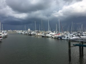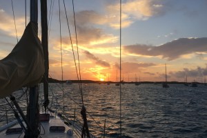
 North of Morehead City and Beaufort, the intercoastal waterway follows a series of rivers that avoid Pamlico Sound and the Outer Banks. This is a good thing if you wish to avoid wind, chop, and shoals. However, we prefer sailing to the drone of a diesel engine, and chop and shallow water are not a problem for a 44′ boat with a centerboard. Besides, we were keen to avoid the notoriously low Wilkerson Bridge, a challenge for our 64-foot mast because unlike most places where we can time our bridge passings with low water, the Alligator River is too far from the ocean to experience a significant tide. So, after motoring north from Beaufort to the Neuse River, we sailed east across Pamlico Sound for the Outer Banks.
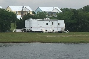
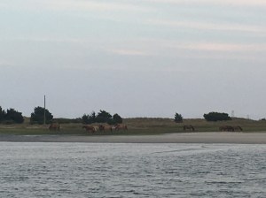
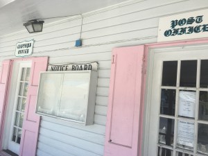
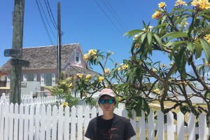
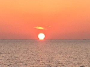
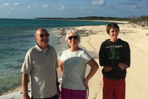
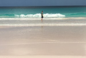
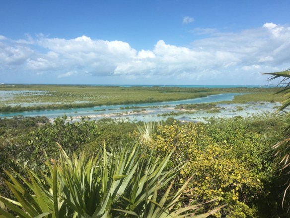
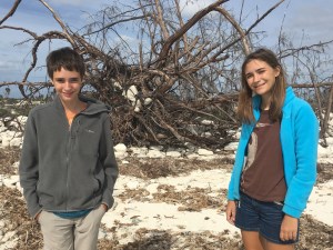
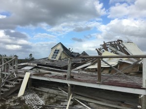
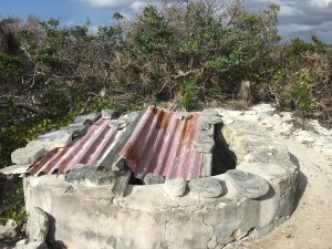
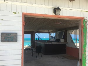
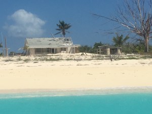
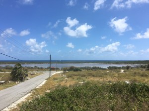
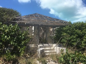
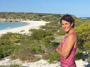
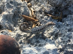
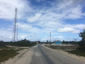
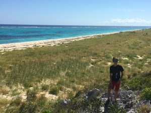
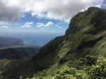
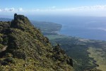
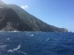
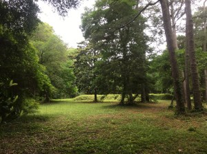
Our first stop was Ocracoke, the former lair of Edward Teach, aka Black Beard. It is also home to a proud, island community built on fishing, piloting, and surviving whatever the ocean throws at this narrow strip of sand in the North Atlantic. Tourism dominates the economy today, but history runs deep for Ocracokers, and the shrimp and crab boats still head out each morning at first light. The island itself is beautiful, with a surprisingly verdant “maritime forest” of live oak and tidal cedar claiming an ecological niche just behind the wind blasted dunes and salt marshes.
-
- 2nd Oldest Lighthouse on the East Coast
-

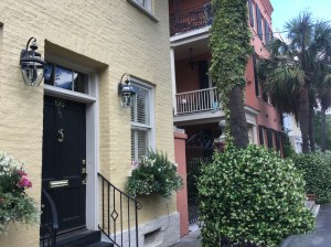
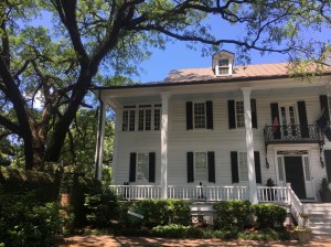
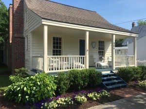
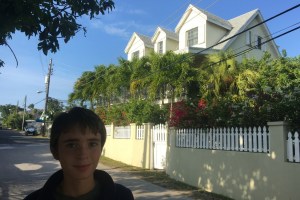
- Beautiful Homes and Streets
-
- Hatteras National Seashore
-
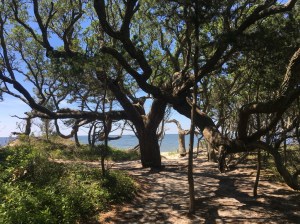
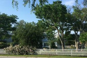
- Forests of Live Oak and Cedar
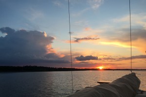
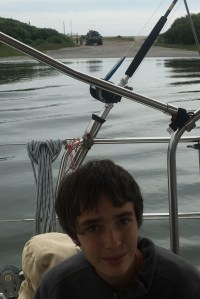
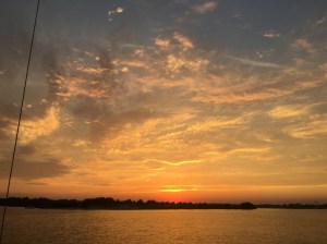
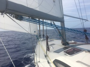
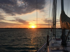
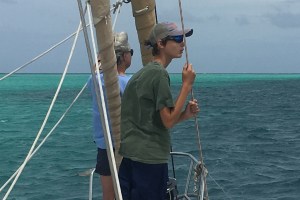
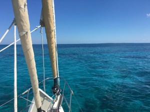
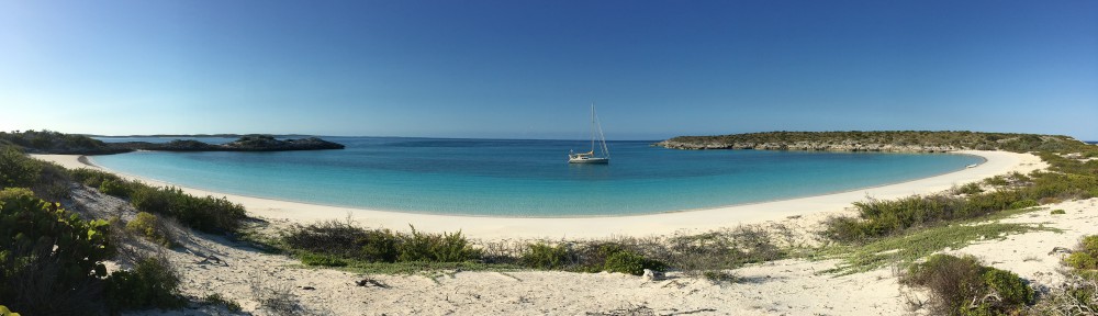
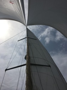
After three days we ran before across Pamlico Sound before a building southerly. The flat water allowed us to try a new sail configuration: full main, gennaker, and jib poled to windward. It’s unclear whether the third sail added much speed, but it looked cool.
-
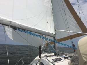
- Main and Two Headsails, Downwind to Roanoke
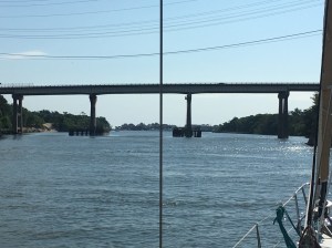
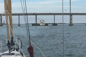
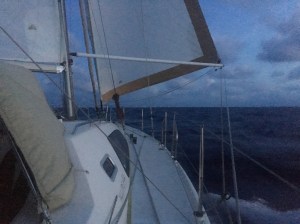
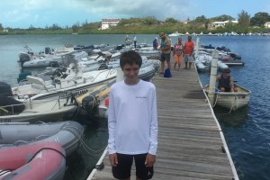
After motoring up a narrow channel through Roanoke Sound, we approached the Washington Baum Bridge, which connects Roanoke Island with Nags Head. This span has a reputation of offering an “honest” 65-foot clearance, unlike many bridges on the ICW. However, the southerly breeze was more than 20 knots by the time we arrived, pushing water into the north end of the sound and creating a wind-driven high tide. We scanned the bridge with our binoculars, trying to read the height board. The 64′ mark was clearly visible, but the 65′ mark was obscured by weed and barnacles. Could we make it? We circled back to the south, debating whether to anchor for the night. Fortunately, a fellow cruising sailboat – Schatze, from Seattle, WA – offered to radio a first-hand report. As they passed under the bridge they could just make out the top of the “65” on the height board, so they estimated a little less than 65′ clearance, assuming the board was accurate. We decided to go for it. I motored as slowly as possible, and Owen watched as the girders flattened the flexible VHF antenna at the top of the mast. “How much of the antenna was touching the bridge” I asked afterwards? “Almost all of it,” he said. Relieved, we motored into the marina at Manteo.

Washington Baum Bridge
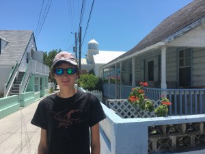
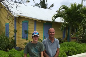
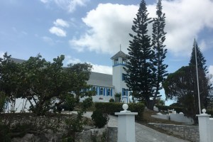
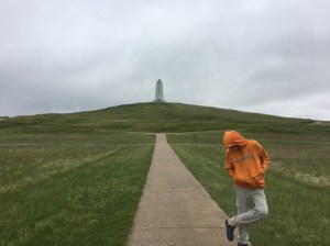
Manteo is charming, hospitable, and perfectly located for exploring the northern half of the Outer Banks. We rented a car and toured the Wright Brothers Memorial, Kill Devil Hills and Nags Head. We visited the “Lost Colony” of Roanoke, and we investigated the Elizabeth II, a replica of one of Sir Walter Raleigh’s ships that delivered the first English colonists to the New World.
-
- Wright Brothers Monument
-
- Big Kill Devil Hill
-
- Earthworks at the Roanoke Settlement
-
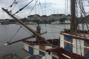
- Elizabeth II, Strider in the Background
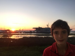
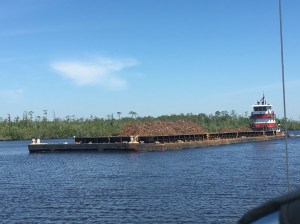
After Manteo we sailed north across Albemarle Sound, and as we entered the North River we officially rejoined the Intercoastal Waterway. From here to Norfolk we navigated a series of rivers, canals, bridges, and locks, keeping a sharp eye for barges and snags. The last several miles of the waterway are great fun, as the Elizabeth River sweeps past a never-ending string of industrial docks and naval yards. We even passed the USS George Washington, which I last saw in the Persian Gulf in ’99, from a different cockpit and vantage point!
-

- Sleepy Rivers and Cyrpress Swamps on the ICW
-
- Just Enough Room to Pass!
-
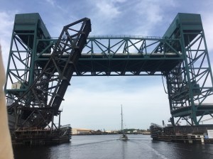
- Gilmerton Lift Bridge, Elizabeth River
-
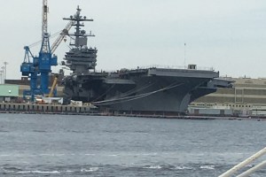
- USS George Washington (CVN-77)
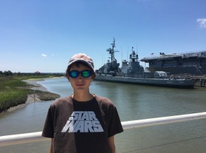
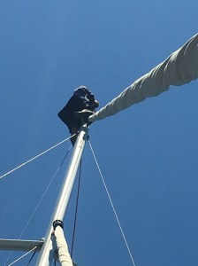
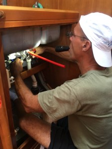
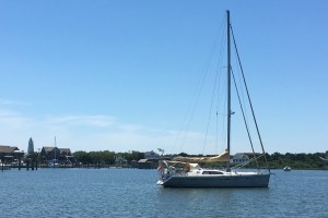
For the last three days a series of offshore gales have swept cold rain and wind over the anchorage at Portsmouth and Norfolk. Still, we managed to visit Nauticus, the Navy museum and home of the USS Wisconsin (BB-64). We listened to live country music. We walked the historic district of Portsmouth. And we accomplished some boat maintenance. I dove under Strider and removed a crab pot warp that was wrapped on the propeller shaft. Owen hoisted me up the mast, and I installed new wind instruments and an LED tricolor navigation/anchor light. We hope we don’t need to replace these anytime soon, now that we’re done with the ICW and those [less than] 65 foot bridges! In a couple of days, when the wind backs to west, we will catch the ebb tide out of Chesapeake Bay and set sail for New York City.
-
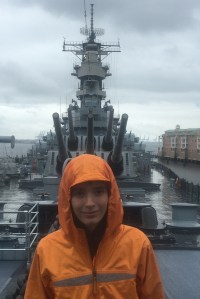
- BB-64 USS Wisconsin
-
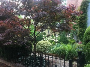
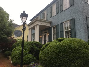
- Portsmouth VA garden
-
- Portsmouth Colonial
-
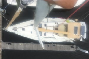
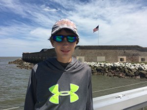
- Strider from the Masthead
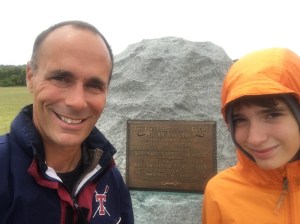
Here’s one more photo for the history geeks. The South is replete with monuments to its Confederate war dead, the North with its tributes to Union soldiers. And across the country you can find memorials for the two World Wars and increasingly for the wars in Korean, Vietnam, and Southwest Asia. But how many large, significant monuments do you find memorializing the heroes of the Spanish-American War of 1898? This is located in downtown Portsmouth.

Spanish American War Memorial